Drone Photogrametry and spatial analysis
# DRONE #PRECISION #EFFICIENCY #ECONOMY #RISK REDUCTION
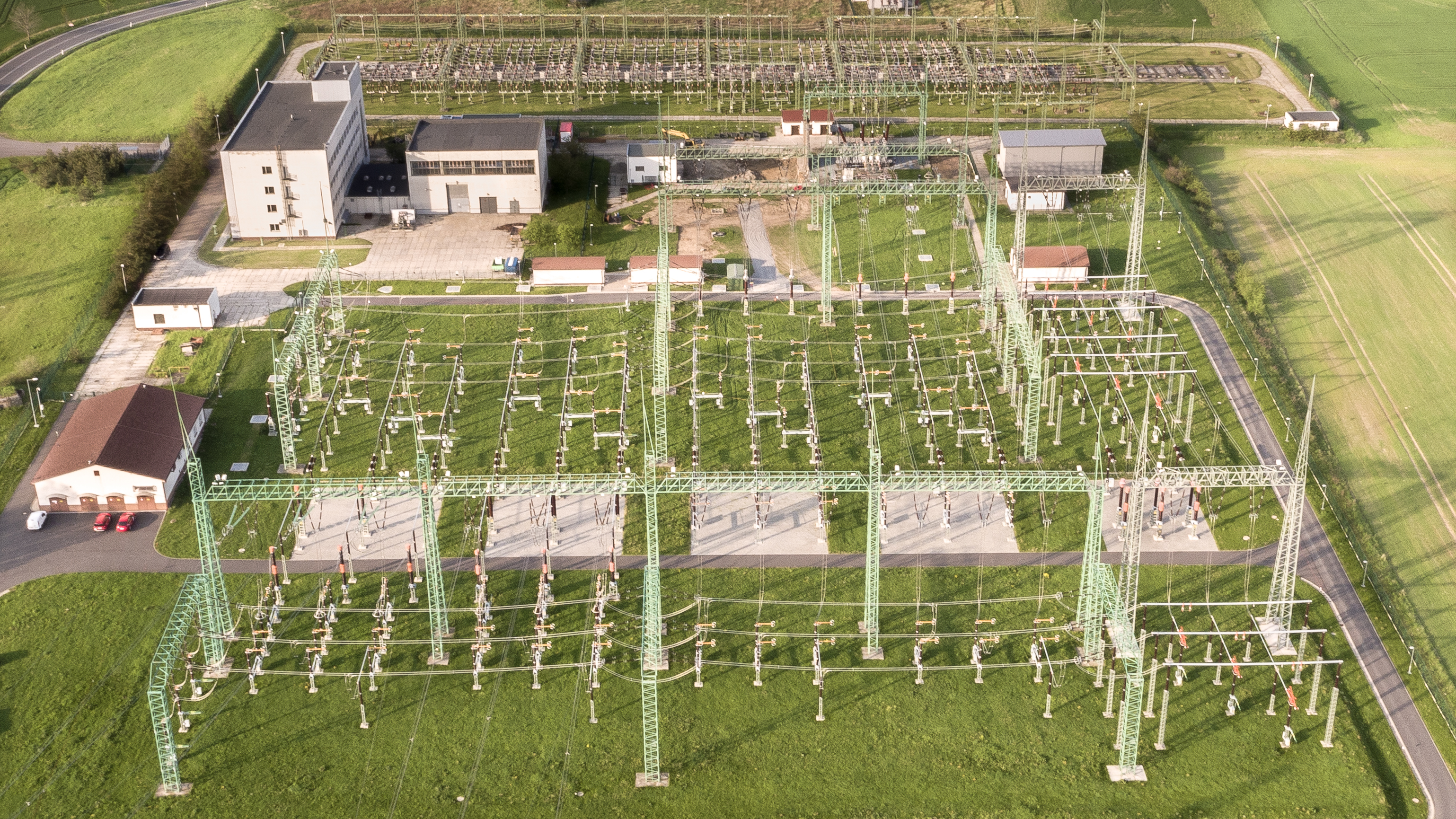
DRONE PHOTOGRAMETRY
Photogrammetry is a measurement technique for making 3D models and measurements of the scenery. It relies on a process called parallax which consists of shots in different positions.
Our shots are made using drones piloted by our experts. The use of drones allows us :
• To provide our customers with accurate measurements of the works without impacting the operation of their business.
• To provide our customers with data on their sites considered dangerous or inaccessible usually to the intervention of staff.
• Speed in data acquisition
The collected data is then processed by our teams using photogrammetry software to finally obtain a 3D point cloud.
SPATIAL ANALYSIS
The acquisition of imaging or the production of Point Cloud by drone capture allows to provide an analysis of constructions, farms or industrial infrastructures:
• Use of thermal images to detect weaknesses in buildings
• Use of drone images for an inventory of agriculture’s fields allowing then their optimization (irrigation, fertilization)
• Contextualization of real estate in their space